
Chili Gulch
Chili Gulch refers to the tributary stream channel that begins just south of Mokelumne Hill (initially following present Highway 49) and runs south some seven miles before emptying into the North Branch of the Calaveras River. Located among rich Tertiary formations, mining of these ancient river channels tapped into some of the richest gold deposits in the county. Because of an initial large presence of Chilean miners in this area, it is referred to as Chilean Gulch in early newspaper reports and on maps of 1852 and 1853. In 1857, it is referred to as Chili Gulch and that name has prevailed.

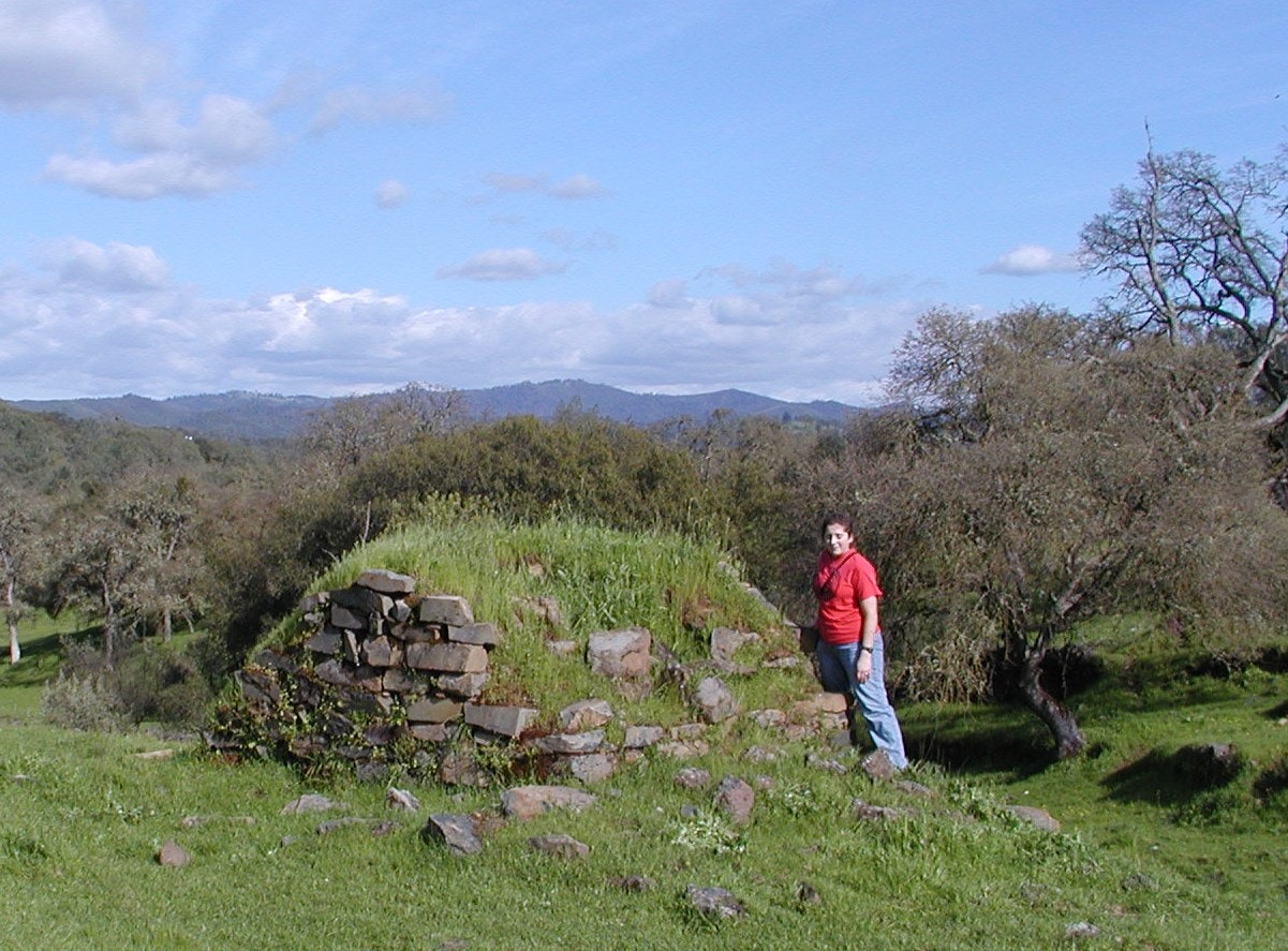
For a time, the main road from Mokelumne Hill to Stockton ran down Chili Gulch and the gulch’s largest settlement – Chili Camp or Center House -- was located where the road turns to the southwest, leaving the drainage along what is now Beal Ranch Road. Here can be found impressive stone ruins of shops and homes, including a massive bread-baking oven.
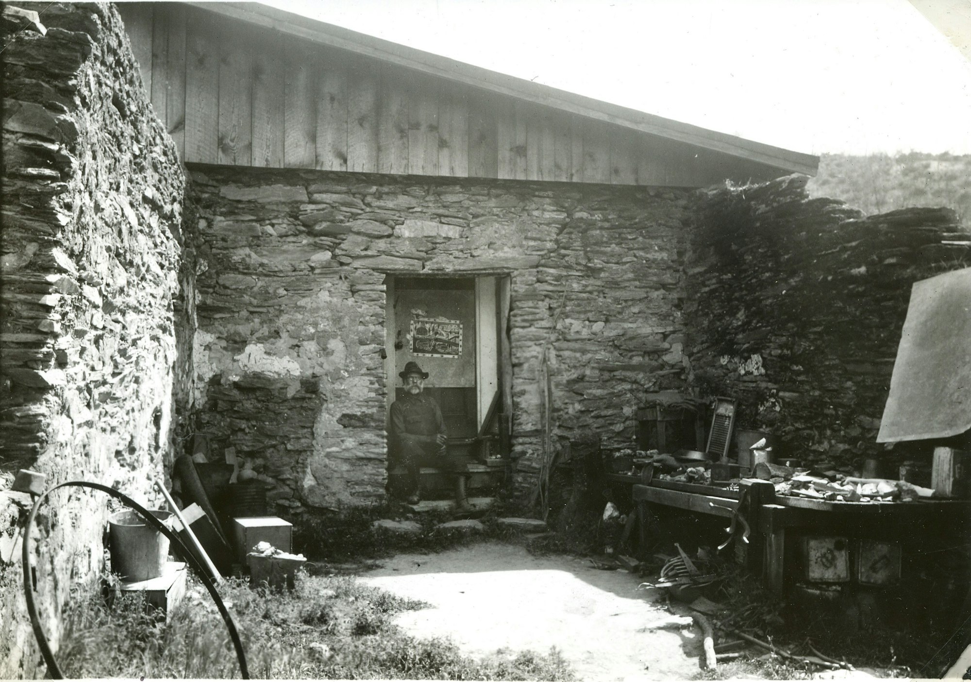
The other Gulch settlement of note was called the Junction, located north of Chili Camp where a spur road to the east led to San Andreas (joining current Highway 49 near the current transfer station). Remains of structures at the Junction include that of the old Pellaton Store.
Chili Gulch obtained fame as the general location of what has been called the Chilean War, marked by State Historic Landmark plaque No. 265 on Highway 49, 1.4 miles south of Mokelumne Hill. In this two-month flair up – December 1849 to January 1850 -- American miners took umbrage at the successes of Chilean Argonauts and initiated a series of legal injunctions and physical confrontations which resulted in driving the South Americans out of the gulch (see sidebar for details).
Miners were mobile and opportunistic, however, and the departing Chileans were soon replaced by communities of Chinese, which then gave way to large scale hydraulic mining in the 1870s. With water supplied by the Mokelumne Hill Campo Seco Canal, gravels could be processed year round and large portions of the Gulch’s hillsides were washed downstream. Outcroppings of rhyolite were also mined for building materials and gravels. Prosperity brought a more settled population and a school was established in 1857 with 57 children attending. A short-lived Post Office named Chili was also established in 1857. Mining declined, families moved on, and the school was closed in 1919. Ranching persisted, however, and the land is currently used primarily for cattle grazing.
References
Calaveras County Historical Society
1986 An Album of the Pioneer Schools of Calaveras County. Calaveras County Historical Society, San Andreas.
Gudde, Erwin G., Edited by Elisabeth K. Gudde
1975 California Gold Camps. University of California Press, Berkeley.
Limbaugh, Ronald H., and Willard P. Fuller, Jr.
2003 Calaveras Gold, The Impact of Mining on a Mother Lode County. University of Nevada Press, Reno and Las Vegas.
